

1
Map, then Add to the map
The list is named as the rules name things, with what you would call it underneath. Stores first: slurry store, silage clamp, field heap, fuel store. Then the water: watercourse, pond, spring or borehole, drain outfall.
2
Pick the kind and draw it
A store is an area: tap around its edge, three points or more. A ditch is a line: tap along its length. A borehole is a point: one tap.
3
Name it and add what the rule asks
Give it a name. A store takes its capacity in cubic metres; a field heap takes the date it was placed, and the app works out when it must move. Then Add to the map.
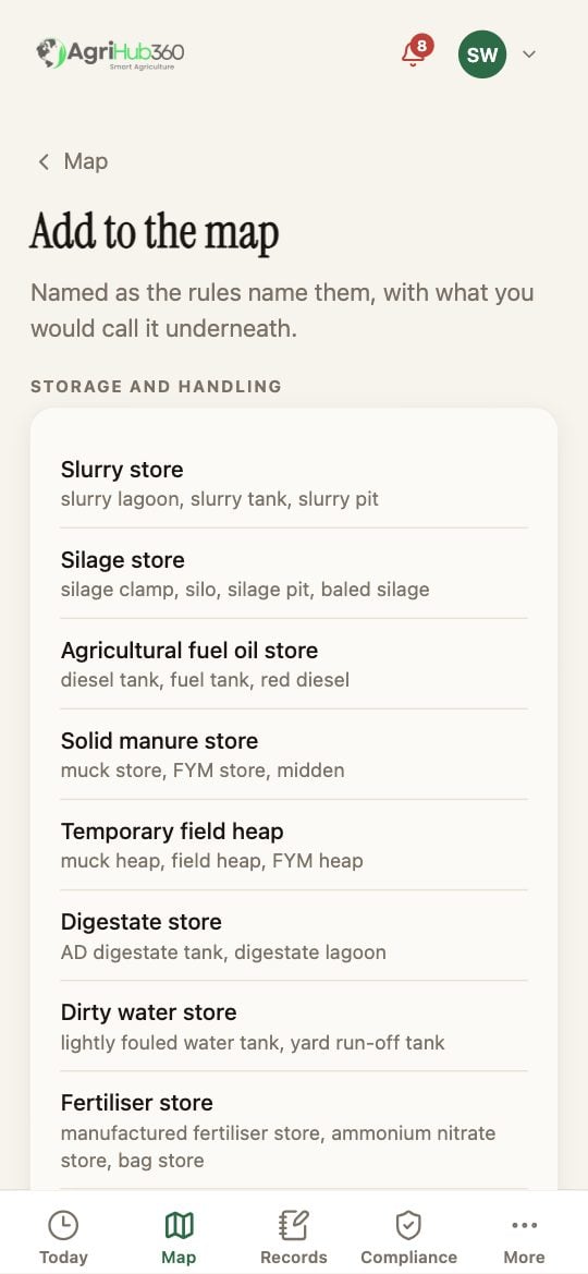
Add to the map: the kinds, named as the rules name them.
What You See Next
The siting check runs as soon as both shapes exist. A slurry store 8 m from the ditch reads “SSAFO wants 10 m, two metres short”. A store with no water drawn near it shows as unchecked rather than compliant. The risk map in the NVZ pack draws the 10 m and 50 m strips from what you drew.If It Does Not
Related: Farm Map and Siting Checks, Read the Inspection List and Fix a Line.